Montessori Approach to Geography

Can toddlers and preschoolers learn about geography? Absolutely, if the teaching methods are appropriate for them. Montessori schools begin basic geography concepts early in the child’s life. The Montessori approach to geography allows children to learn concepts in a tactile, hands-on way. Geography comes to life when it is presented in the way young children learn best.
Geography is divided up into two strands: the physical geography of the earth and the political geography that includes things like countries and their borders. We begin with the physical, as it is based on real information that little kids can see, touch, and truly understand. This subject dips into geology, which looks at what the earth is composed of, but instead of leading further into the study of rocks and minerals, it serves as a foundation on which children can more fully understand the concepts of political geography.
Sandpaper Globes
From a young age, toddlers can run their hands over textured globes that teach them to differentiate between the land and the water. During the sensitive period for language, they can quickly learn to identify and name the seven continents this way.
Landform Models
Little ones learn first to classify landforms by handling miniature models of common geographical formations. The models include an island, lake, peninsula, gulf, isthmus, and straight. The models are raised to represent land and the lower parts can be filled with real water to show children the various formations in a hands-on way.
Ideally, landform models should be supported by the real thing. Going on walks in nature to see and name an actual lake or peninsula should happen around the same time as studying the models. Also, be on the lookout for landforms normally overlooked…a puddle is a tiny lake and a city fountain may include an “island”.
Montessori moves from the concrete to the abstract. After the child understands the landforms through three dimensional models, sandpaper representations are introduced as well as cards with photographs of real landforms in nature.
Puzzle Maps
Puzzle maps are wooden puzzles divided up by continents, countries, or states. They are not traditional jigsaws that fit into one another, but rather each piece is a geographical mass. The pieces are knobbed so that little fingers can arrange them easily. The pieces are color-coded to reinforce their separateness.
Puzzle maps are meant to reinforce map skills; they are not intended to challenge the child’s puzzle solving abilities. However, minimal challenge engages the child’s mind and being able to see where pieces fit allows for self correction and independence. Puzzle maps should be taught in conjunction with visual or sandpaper maps, with the puzzles as the next step. Children should be able to reference maps while completing the puzzles, particularly at the start.
Continent Boxes
Geography is meant to be learned in conjunction with culture and ecology. Learning about the people, plants, and animals that inhabit our world makes learning about its physical makeup more interesting.
Usually, children find animals most fascinating. A fun way to start learning about the world’s diverse creatures is to place miniature animal models onto a map. Little ones fixate on small objects and they are highly alert to naming and classifying these objects.
Continuing, create a small box for each continent, where you store maps, animal models, landmark models, picture books, and photographs of the people who live there.
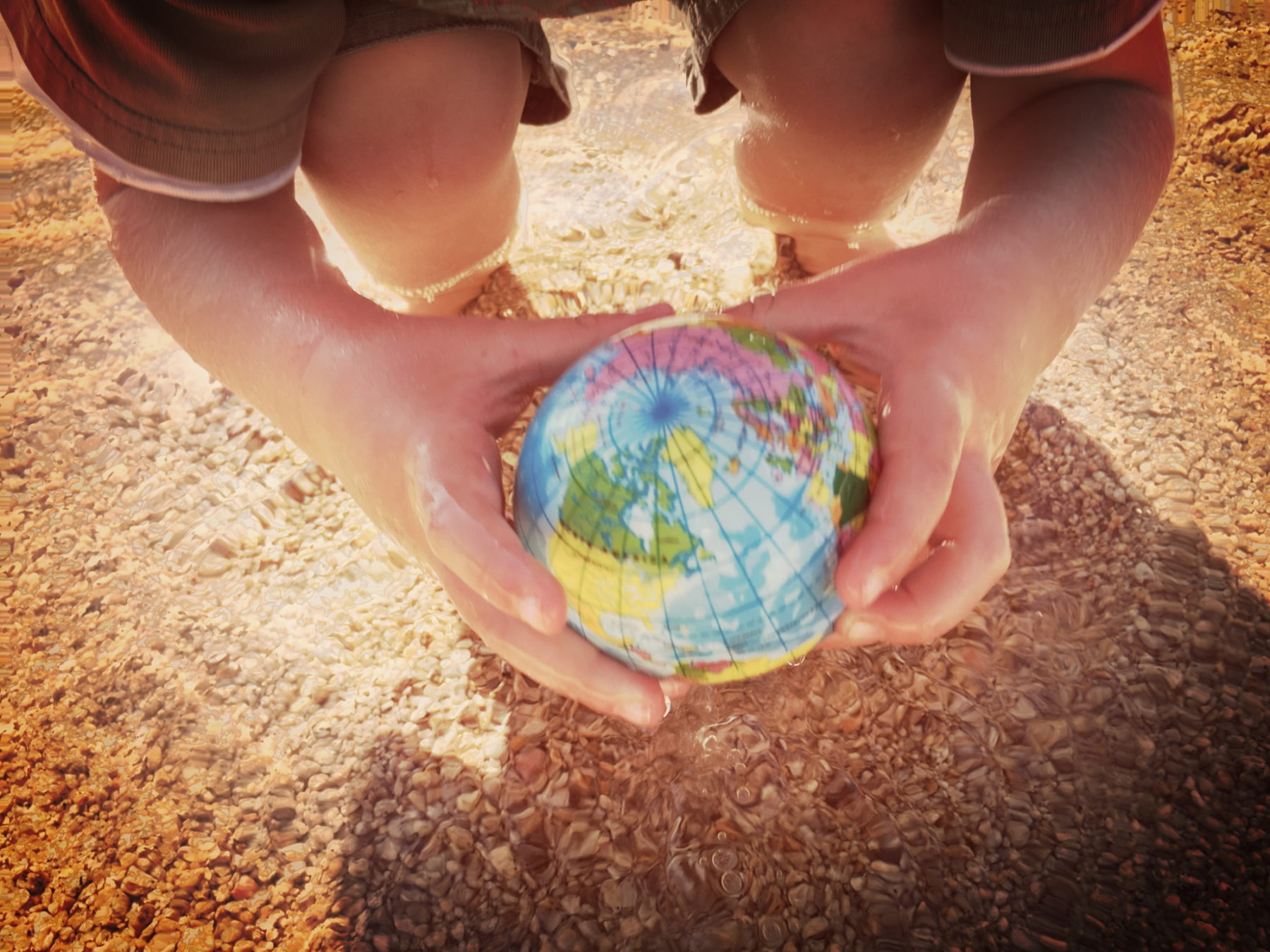
Starting to learn about geography early on helps build a solid foundation for later understanding and develops a lifelong appreciation for nature and our planet.